 |
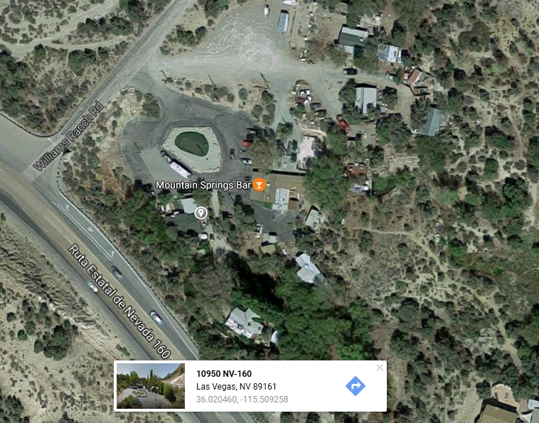
| Mountain Springs Bar |
Just outside Las Vegas on the way to Pahrump on Highway 160 is Mountain Springs. This is a very interesting area as there is a lot of spring water bubbling to the surface. Getting to Mountain Springs, not to be confused with the Mountain Springs Bar shown in picture on the right, is a short drive further to Lovell Canyon Rd, turn off shown on the next graphic.
 |
| Lovell Canyon Road |
Be sure to click on each picture to enlarge in order to have a closer view.
The turn off to Lovell Canyon Rd is on your right after you've gone over the 160 Pass from Las Vegas from Blue Diamond Rd. See the full Google Map with driving directions from downtown Las Vegas here. Again, this is if you're leaving from Downtown, 'Old Las Vegas'. You'll see you can catch the route from I-15.
If you'd like the KMZ file (Google Earth) you can download it from here.
Once you arrive at the dirt road, you'll travel approximately three miles up to a few parking areas off to the side. You can only drive so far as there's a gate disallowing vehicles to travel any further. In the next graphic you will see the complete drive from the dirt road with LAT and LON approximations.

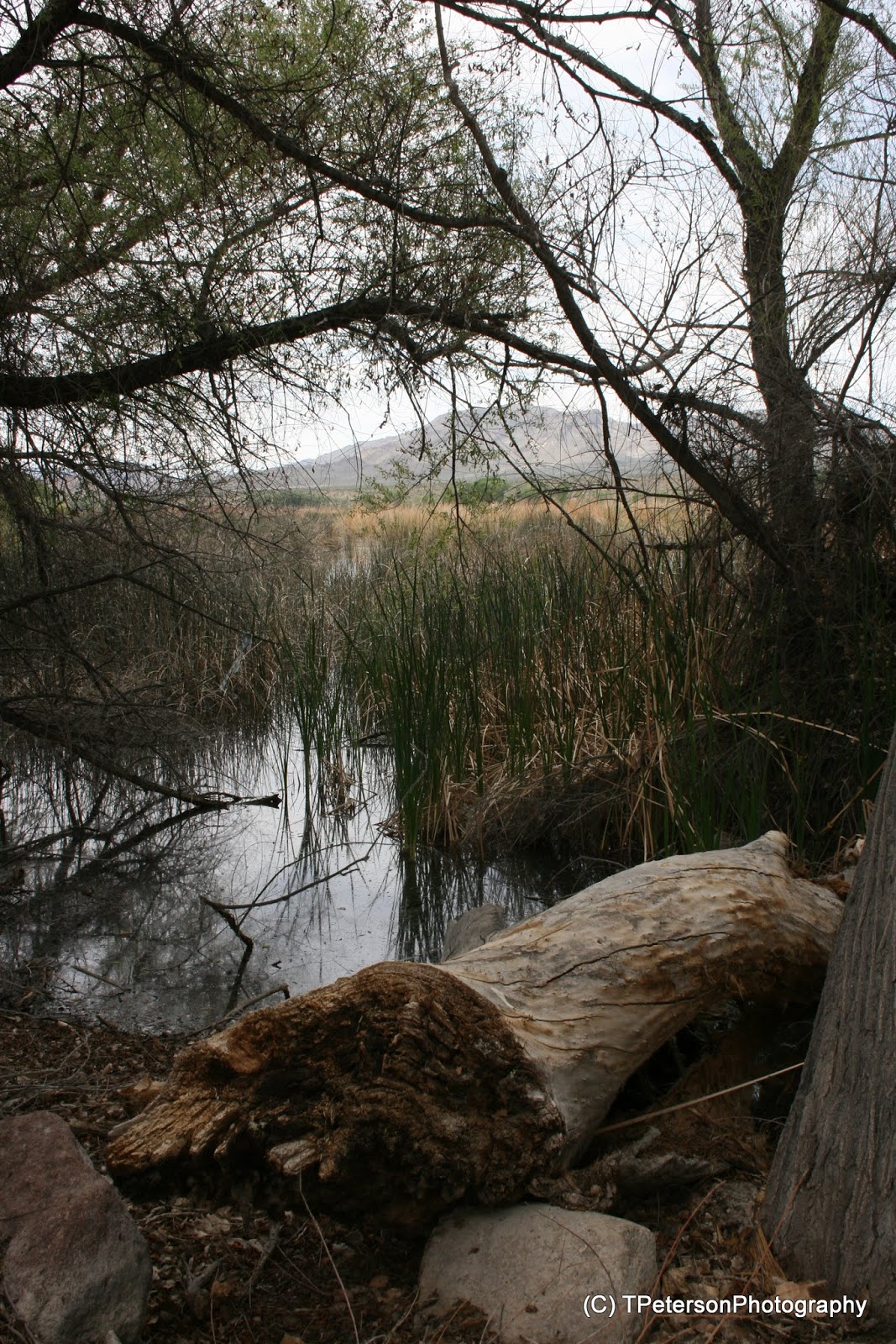
Once you reach the trail-head you'll find a steel bar gate blocking further off-road travel. Continue walking through the gate. Shortly after the gate you will run into trickling water and after another fifty feet or so you'll find you're dredging through thick mud and water if you don't veer to the right to follow the trail.

Pictured left is what it looks like shortly after you walk through the gate. The sides of the wash begin to heighten and become more narrow. The vegetation also begins to change vastly.

Here you can see the water starting to pool down the center of the stream area.

The further you walk the more lush the vegetation becomes. More colors come into view along with the bugs, yes there are of course bugs, mosquitoes included, although they are not too bad. If you're here in early spring you'll hear plenty of frogs doing their thing. These pictures were taken in the middle of May 2017 and there was still plenty of water.

Soon the 'marsh' becomes filled with vegetation, flowers everywhere and plenty of thirsty plants. You'll most certainly want to walk around to the right of all this.

This old fence might likely have been placed many years prior by sheep herders. There are many wire fences wrapped around young tree saplings, so it appears the Bureau of Land Management is attempting to protect some rare trees, see the next picture.
 | ||||
| Many trees surrounded by wire fencing |


There is a trail which winds around through the hills, and I would recommend you stick to the trail if you're unfamiliar with the area unless you're carrying a GPS on you. I always carry a GPS, or two, because I like to go where others don't.

The vegetation after the spring was somewhat sparse, mostly pinion trees and other types of vegetation, but there was plenty of cacti and flowering plants.


The picture above contained a really interesting plant, one I've not seen before. It was lushly green and clung to the rocks like algae. The leaves were two to three millimeters in length and very densely packed like sardines and it was all nuzzled (used as a noun) under the very different cacti. I found several pods of this plant along with the same type of cacti - by the way, I have not seen these varieties of cactus anywhere else other than stores.

Some really nice views from up in the hills.

The pic above looked like many barrel cacti bunched together. I have see this type of growth before, but with four to five tiny barrels, but not this many.


The hike for this area is somewhat strenuous at times, but overall it's not difficult. I did take some of the trail on the way back, but then diverged to check out other areas. I also went almost directly up the hills which was tough. The trail actually switches back and forth and makes its way gradually up the hills.
The hike can be done in a few hours and should be enjoyable. If you don't care to take the hike, at least check the spring, you will enjoy it. The spring is cooler in temperature and surrounded by the hills, making it shade more quickly as the evening falls.
The following are a few my actual GPS coordinates should you want to import them and use them. It starts at the entrance of the dirt road. Remember I didn't use the trail much at all.
| N36.01977° W115.56182° |
| N36.03194° W115.55130° |
| N36.03491° W115.53860° |
| N36.04059° W115.52723° |
| N36.04491° W115.51848° |
| N36.05042° W115.51227° |
| N36.05258° W115.51012° |
| N36.05237° W115.50833° |
| N36.05460° W115.50501° |
| N36.05542° W115.50311° |
| N36.05625° W115.49958° |
| N36.05587° W115.50359° |
| N36.05564° W115.50541° |
| N36.05489° W115.50801° |
| N36.05042° W115.51227° |